
|
|
|
|
|||||||
| General Discussion (Everything Else) Discuss anything that doesn't belong in any other forums here. |
 |
|
|
Thread Tools | Display Modes |
|
#2
 07-10-2009, 04:17 PM
|
||||
|
||||
|
how did you get these satelite photos

|
|
#3
07-10-2009, 04:25 PM
|
||||
|
||||
|
Quote:
sorry http://ge.ssec.wisc.edu/modis-today/index.php
|
|
#4
07-10-2009, 07:27 PM
|
|||
|
|||
|
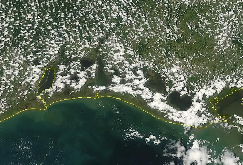
The first picture is SW louisiana coast.
The water with the yellow around the lake is Sabine Lake. Next big lake over the the east is Calcasieu lake [Big Lake]. Next is Grand Lake and the one on the far right is White Lake. 2 nd Picture.....I do not know where that is located....maybe over near Vermilion Bay?
|
|
#5
07-10-2009, 08:26 PM
|
||||
|
||||
|
Quote:
Didnt want water labels.. ex....... i fished big lake today water looked similar to the satellite image. i have been using this fishing around terrebonne parish and it has helped me deceid weather or not to go out.
|
|
#7
07-10-2009, 09:28 PM
|
||||
|
||||
|
Quote:
yes but its a guess because its usually the day before i go fish.
|
|
| Bookmarks |
|
|


 Linear Mode

